WE BELIEVE
that great things happen when a city COMES TOGETHER to develop a
long-term plan FOR THE FUTURE of the community.

JOIN THE CONVERSATION
YOUR INVOLVEMENT can help shape the future of the DALLAS CITY CORE.
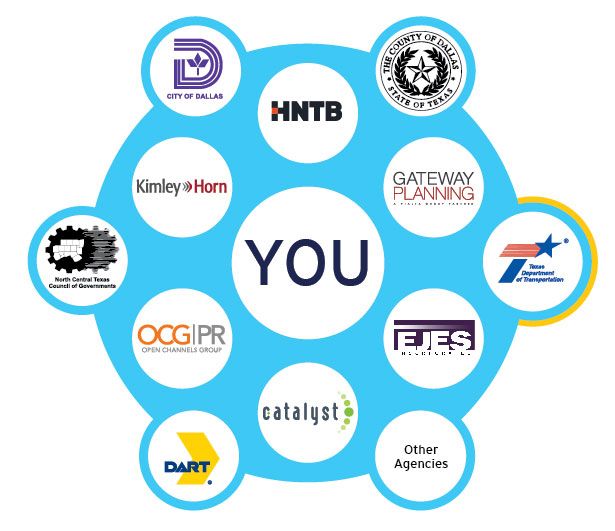
Urban planning and city building becomes the collective work of agencies, stakeholders and individuals.
LET'S WORK TOGETHER
to develop the Dallas City Center Master Assessment Process "CityMAP"
to
identify neighborhood redevelopment, preservation, and transportation scenarios for a comprehensive vision for the city's future.
Dallas CityMAP
The Dallas CityMAP effort is looking at the urban core and the role the surrounding highway system
should play in CONNECTING PEOPLE AND PLACES both along
and across these roadway corridors.
WHAT'S THE VISION?
When the concepts of “compact city” and “smart growth” were first advanced in the 1990s, the conventional wisdom was that roadway capacity and livability at the neighborhood scale were incompatible. Today, after a generation of evolved thinking by urban planners, engineers, neighborhood leaders, economic developers, city leaders and other stakeholders in the business of city-building, the art of city design has embraced a context-sensitive approach to transportation and neighborhood design that recognizes that roadway capacity and livability are not competing objectives. The Dallas CityMAP process is an open and inclusive assessment of the challenges, opportunities, and potential solutions for the aging interstate corridors and adjacent neighborhoods.
WHAT'S THE PLAN?
A critical component of the Dallas CityMAP process was receiving input from key stakeholders. Over a nine-month period beginning in March 2015, interviews were conducted in a free form interview style to allow stakeholders the opportunity to communicate ideas and visions of importance to them. As a result, a wide range of ideas and topics were discussed. Residents and businesses in the core of Dallas made it clear that the reinvention of the major interstate corridors provides an opportunity to enhance connectivity and quality of life. CityMAP responds to the shared community goals of maintaining a robust regional transportation system and economic vitality with a desire to reknit the neighborhood fabric in a contemporary way that returns to the renaissance of urban living. The aging and, in some cases, obsolete interstate corridors entering and looping the urban core of Dallas provide both a challenge and an opportunity for TxDOT, the City of Dallas and other public and private stakeholders. These corridors need more than safety repairs, increased capacity and updated designs. They should also respond to a downtown that no longer serves merely as a Central Business District.
WHAT's THE RESULT?
Dallas CityMAP is possible because of your participation and we want to say thank you. Together we focused on highway design and how it can contribute to both mobility and city-building in order to achieve the goals of both commuters and neighbors.You have affected the role that roadways play in getting you to and from your destination while maintaining a sense of community. Based on your input, CityMAP built scenarios using your diverse ideas for innovative roadway design and adjacent neighborhood development impacting the future of the Dallas core. The scenarios illustrate “the art of the possible” to include walkable neighborhoods connected across a broader city context while allowing for regional commuting that also complements the context of the corridors. CityMAP defines a collective vision for a community by empowering people to have a say in the development of their neighborhood. Results
Long considered simply a way to "get there," urban interstates take
on new meaning as communities like Dallas struggle to replace their
transportation infrastructure and create a more integrated future.
Changing views and expectations for greater neighborhood and
regional connectivity and livability are motivating communities to
examine both traditional and innovative mobility solutions.

